
Pleasant Prairie Previous Resident Eras
Different sources identify different parts of a Pleasant Prairie address history. Start near the date being studied. A current card supplies the parcel key, LandShark follows legal transfers, and directories or census schedules add household evidence. Exact online depth is not published for every system, so the office and archive routes matter.
| Source | Years It Covers | Where Held | What It Shows |
|---|---|---|---|
| Property and tax card | Current and prior tax or sale data as available | Kenosha Property Inquiry | Owner, situs, mailing, values, sale and building data |
| LandShark deeds | Online start not verified; office records are older | Kenosha Register of Deeds | Recorded parties, instrument, image and legal description |
| Plat maps | Listed years from 1858 through 1934 | UW-Parkside Archives | Owners, acreage, house placement and PLSS context |
| Kenosha directories | Listed run from 1858 through 2007, with gaps | UW-Parkside and History Center | Dated names, addresses and occupations; coverage varies |
| Federal census | Public under the 72-year rule, now through 1950 | NARA and library databases | Household composition at an enumeration date |
| Newspapers and obituaries | Bound 1845-1945; obituary holdings 1960-present | History Center and libraries | Moves, deaths, notices and community context |
For a recent sale, begin with the current parcel and deed. For a twentieth-century household, compare a directory with the nearest public census. Rural nineteenth-century work often starts with a plat, farmer directory, township, section, and post-office name. Each row is a dated observation, not proof of a full span of residence.
Trace Pleasant Prairie Previous Resident Land
The current parcel card is a launch point, not the historical answer. After accepting the guest terms at Kenosha County Property Inquiry, record the parcel number, exact situs address, assessed owner, mailing address, legal description, displayed tax year, and latest sale or document reference. The mailing field shows where tax correspondence is sent. It must not be used as proof that the recipient occupied the house.
The county card may also show prior tax, value, building, and sales data. Its depth is not stated as one fixed historical span. A retrieved card should therefore include the date viewed and the year printed on the result. Carry the parcel number into GIS and the document number into the deed index.
The source screen can be reviewed through the Property Inquiry guest portal.
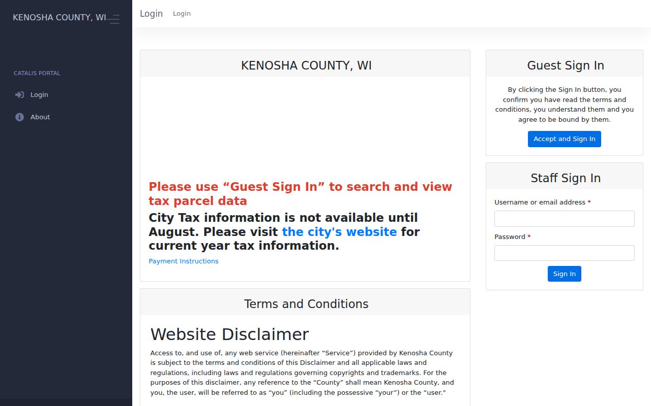
The guest sign-in shown here explains why exact search fields appear only after the user accepts the portal terms.
Reverse Pleasant Prairie Resident Deeds
LandShark follows recorded legal interests, not everyone who lived at an address. Its working index can contain errors or omissions, and older images may be hard to read. Use both names and the legal description. The exact online cutoff was not found in official county material, so a failed web search must lead to the Register of Deeds, deed books, plats, or an office copy request.
- Copy the present owner, parcel number, legal description, and latest document reference from the property card.
- Find the purchase instrument in Kenosha County LandShark. Read the image when available instead of relying only on the index title.
- Search the seller, who is the grantor in that transfer, as a grantee in an earlier period. Match the legal description before accepting the connection.
- Repeat with spelling variants, initials, spouses, trusts, estates, or entity names. Preserve prior instrument references and old parcel identifiers.
- When the web chain stops, ask the Register of Deeds about older books, indexes, and copies, then use plats or surveys to test parcel splits.
- Grantor and grantee
- The grantor transfers an interest; the grantee receives it.
- Chain of title
- The linked sequence of recorded interests in the same land.
- Legal description
- The lot, block, section, or other land wording that can survive a street-name change.
- Criss-cross directory
- A directory arranged by street and house number for finding a dated occupant.
The captured LandShark portal is the online doorway for that backward grantor and grantee search.
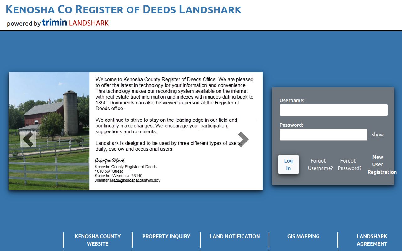
The portal image marks the handoff from today's parcel facts to the recorded instrument chain, with the Register of Deeds as the fallback.
The Register of Deeds accepts office and mail requests as well as portal work. Recording hours are weekdays from 8:00 a.m. to 4:30 p.m. A standard real-estate instrument carries a $30 recording fee, but that does not establish the charge for each search or copy.
Pleasant Prairie Previous Resident Plats
A deed that says “part of” a section, or a parcel with a new number, needs a map bridge. County GIS shows current geometry but is not a survey. County Land Information is the repository for surveys, and UW-Parkside's digitized plat exhibit lists maps from 1858, 1861, 1873, 1887, 1899, 1908, 1915, 1924, and 1934. These can show PLSS sections, owners, acreage, and house placement.
PLSS means Public Land Survey System, the township-and-section framework used in many rural records. It can connect an old farm entry to a deed even when no modern number appears. For a current split or combination, county guidance says new parcel numbers generally appear in five to seven business days. Historic changes require the actual deed, plat, and survey sequence.
Note: Save both old and new parcel identifiers whenever a split appears; otherwise later searches may look like an unexplained break.
Bridge Pleasant Prairie Previous Resident Addresses
Farmer directories are especially useful for Pleasant Prairie previous residents whose addresses predate the current street grid. UW-Parkside lists county farmer volumes for 1897-98, 1919, 1934, and 1947. Entries may use an owner's name, PLSS section, post office, and approximate acreage. Search those parts together, then compare the plat owner and deed legal description.
The archive also links a 1927 New Street Numbering Section, but it is a Kenosha city bridge. No separate Village-wide numbering or renaming table was verified. For Pleasant Prairie, treat the 1927 list as a lead only. Test continuity with road-name history, a plat, the parcel legal description, and a directory year.
Date Pleasant Prairie Previous Resident Households
Deeds answer who held a legal interest. Directories and census schedules may show who lived there. Kenosha directory holdings begin in 1858 and continue through selected and annual runs to 2007, with gaps and uneven Pleasant Prairie coverage. Later reverse lists can be searched by street; earlier rural entries may require a surname, post office, or section. Full collection detail belongs in the Pleasant Prairie city directory resource.
- Choose a directory year nearest the deed, permit, or family event.
- Check the name list and any reverse street list. Copy the address and abbreviation exactly.
- Compare a public census year, now available through 1950 under the 72-year rule, while noting its enumeration date and district.
- Make separate rows for the directory, census, deed, and tax record. Do not blend four dates into one claim.
An enumeration district is the area assigned to a census taker. Rural routes and later renumbering can make that geographic clue more useful than a typed address.
Pleasant Prairie Previous Resident Research Desks
No dedicated Village “research your house” service was found. The practical fallback is a group of local custodians: UW-Parkside Archives for directories and plats, the Kenosha History Center for appointment research, Kenosha Public Library for genealogy and newspapers, KCLS Digital Archive for digitized local items, and Village or county records requests for existing official files.
The Kenosha History Center Archives reports county holdings from 1830 to the present. Useful groups include bound newspapers from 1845 through 1945, obituaries from 1960 onward, city directories from 1858 through 2000, maps and atlases, cemetery lists, family histories, photos, manuscripts, and county plats. Research is by appointment at 262-654-5770 extension 4 or archives@kenoshahistorycenter.org.
The archive page below shows the local desk that can cross-check a house in directories, maps, newspapers, and obituary files during one planned visit.
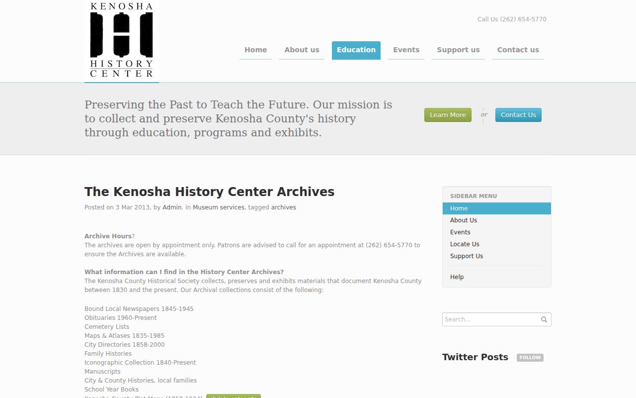
That mixed collection is valuable when an online property trail stops before the household question has been answered.
Pleasant Prairie Previous Resident Sanborn Gap
Sanborn fire-insurance coverage specifically for Pleasant Prairie was not verified. Kenosha city maps may appear in Library of Congress or Wisconsin Historical Society catalogs, but they should not be presented as a Village rural map run without an item-level match. Search Kenosha, historic settlement names, township terms, and the old address. Rural property may be absent.
Use the sources that are verified when no Sanborn sheet fits: UW-Parkside plats, county surveys, deeds, directories, Village permit files, and newspaper notices. A permit applicant is not automatically an occupant. Utility hookup records may exist through Village Public Works or Sewer and Water Utilities, but no public customer database or exact archive span was found. Request only the existing parcel record needed and expect a privacy review.
Monitor Pleasant Prairie Previous Resident Deeds
Kenosha County's Land Notification service adds a present-day endpoint to a house-history log. The free service can watch a name or parcel for new recorded activity and send an email or text alert that links toward LandShark. Registration uses a name or property, an address or parcel, and email or cell contact information.
An October 2025 county update stresses that an alert does not prevent deed fraud. Recording staff check statutory requirements but cannot identify every forgery or false pretense. Treat a notice as a prompt to inspect the instrument and contact the Register of Deeds or law enforcement if it looks wrong, not as proof that title is protected.
Close Pleasant Prairie Resident Trails
Obituaries, death records, cemetery lists, newspapers, and probate files often explain why a name leaves an address. An obituary may identify family and a last residence. Probate can name heirs, fiduciaries, notices, and a property transfer. The WCCA index can locate a case, but the Clerk of Circuit Court holds the actual file and an index is not every document.
For earlier events, Kenosha County's genealogy table lists local registration beginning in 1876 for births and deaths and 1850 for marriages. Wisconsin's statewide system begins October 1, 1907, while access to certified copies follows direct-and-tangible-interest rules. Church sources and Wisconsin Historical Society indexes may fill evidence before statewide registration. Reproduce only facts needed for family or house history, especially when a file names living people.
A useful evidence ledger records observation date, source URL or call number, name as printed, address as printed, parcel or legal description, record date, and confidence. A directory sighting in one year does not prove the same person owned or occupied the home for a decade.
Lawful use. Research Pleasant Prairie previous residents for family history, estate work, or personal house history. Never use an address trail to stalk, harass, or locate a protected person.